
I know…it’s a bad title. But can you blame me? :)
One of the last countries that we learned about in South America was Peru. Peru is the third largest country in South America and nearly half of the country is covered by the Amazon jungle. There are many plants and animals found in Peru that are not found anywhere else on earth. The Andes mountains also run through the country of Peru.
You can view the other countries that we’ve studied from South America on my South America geography page.
Week 1 Layout
Monday
- Review our South America song from Geography Songs {see words below}
- Use atlas and globe to locate the country of Peru; read in the atlas about Peru
- Read one of our books from our bookshelf about Peru.
South America
Argentina, Venezuela and Colombia,
Ecuador, Peru and Chile and Bolivia,
Uruguay and Paraguay, Brazil and Guyana
and Suriname ~
These are the countries of South America.
The French have French Guiana.
The British have the Falkland Islands.
Brazil is the biggest country and
Chile is the longest.
Tuesday
- Review geography song
- Learn {and review} some terms: mountains, mountain pass, lake, desert, rain forest, jungle
- Independent reading from bookshelf
- Filled out the map of Peru notebooking page
 Click on thumbnail to download pdf file
Wednesday
- Review geography song
- Listened to the national anthem of Peru
- Visited the National Geographic for Kids Peru page
- Independent reading
Thursday
- Children Just Like Me book ~ no children from Peru so we talked about the Americas pages 8-9
- Watched a video about Lima, Peru
- Reading together Missionary Stories with the Millers: Jack McGuckin
Week 2 Layout
Monday
- Review geography song
- Took a sightseeing tour through Peru
- Put together our South America GeoPuzzle
- Independent reading from bookshelf
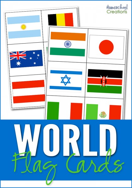
- Learned about the flag of Peru
 Click on thumbnail to download pdf file
Tuesday
- Learned about the history of Peru
- Tried {and listened to} some of the native lingo of Peru
- Watched Peru ~ Land of the Incas
- Read together one of books from bookshelf
Wednesday
- Review geography song
- Story from Around the World in 80 Tales ~ Wish Upon a Star
- Took the Peru Challenge Quiz
- Independent reading from bookshelf
Thursday
- Summarized one of our reading books and copy summary/dication
- Added our notebooking pages to our binder and stamped our passports!
Books & Resources
Resources and Websites
- National Geographic Kids ~ Peru guide
- Time for Kids ~ Peru
- Travel for Kids ~ book links and ideas for kids
- YouTube video ~ about Lima, Peru
- Peruvian national anthem
- Native lingo of Peru ~ sound clips to listen to some phrases
- Peru ~ Land of the Incas: You Tube video {short commercial at start}
- Guide to Peru


 The printables shared on this site are FREE of charge unless otherwise noted, and you are welcome to download them for your personal and/or classroom use only. However, free or purchased printables are NOT to be reproduced, hosted, sold, shared, or stored on any other website or electronic retrieval system (such as Scribd or Google docs). My printables are copyright protected and I appreciate your help in keeping them that way.
If you download and use some of my printables and then blog about them, please provide a link back to my blog and let me know - I'd love to see how you are using them! Please be sure to link to the blog post or web page and not directly to the file itself. Thank you!
The printables shared on this site are FREE of charge unless otherwise noted, and you are welcome to download them for your personal and/or classroom use only. However, free or purchased printables are NOT to be reproduced, hosted, sold, shared, or stored on any other website or electronic retrieval system (such as Scribd or Google docs). My printables are copyright protected and I appreciate your help in keeping them that way.
If you download and use some of my printables and then blog about them, please provide a link back to my blog and let me know - I'd love to see how you are using them! Please be sure to link to the blog post or web page and not directly to the file itself. Thank you! 