
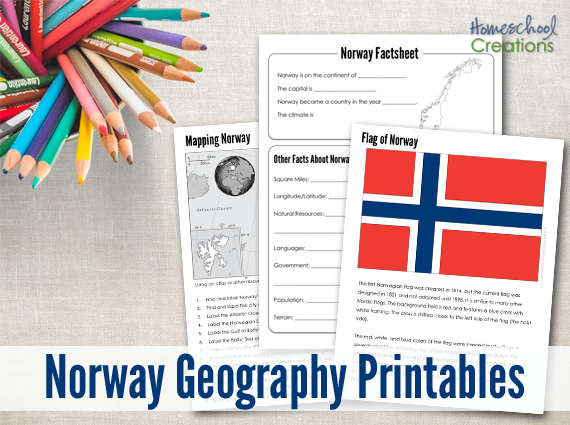
One of my readers emailed and requested a special country set for their upcoming trip to Epcot: Norway! Below you will also find additional helps, learning tools, and lesson plans to help you out as well.
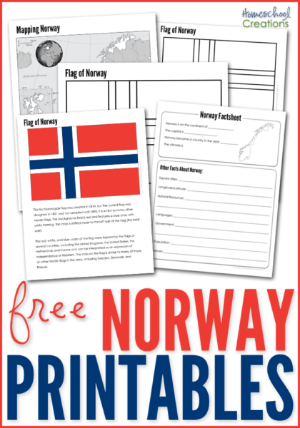
The Norway Geography Printables include the following worksheets:
-
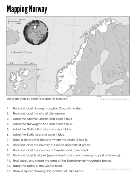
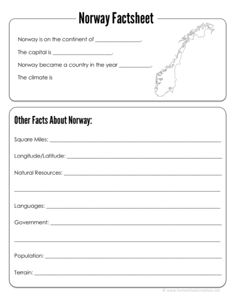
a Norway mapping sheet {map rivers, oceans, major cities, and countries}
-
a Norway factsheet to write down information about Norway including current population, climate, type of government, and more
-
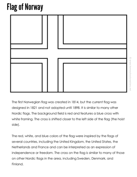
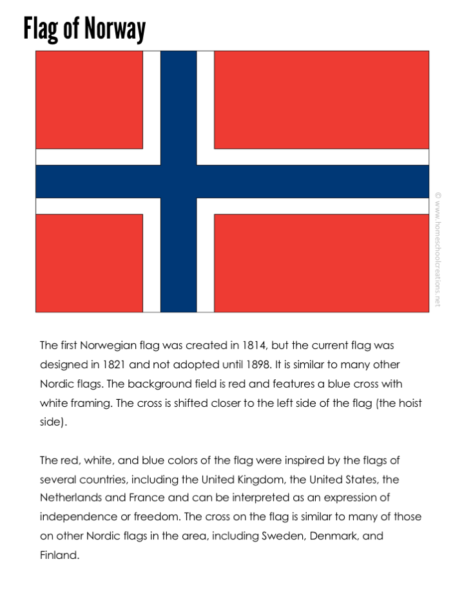
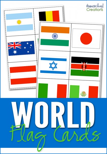
a Norwegian flag coloring page
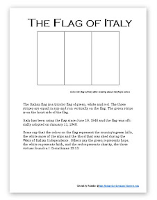
- a Norwegian flag information sheet and notebooking page
 |
 |
 |
 |

Use the below books to help us fill in the information blanks for the factsheet page:
- National Geographic Kids ~ Norway
- Navigating by Joy ~ Norway unit
- Half a Hundred Acre W ~ The Great Kapok Tree lapbook
- Crafts for Kids – Viking Paper Longboat
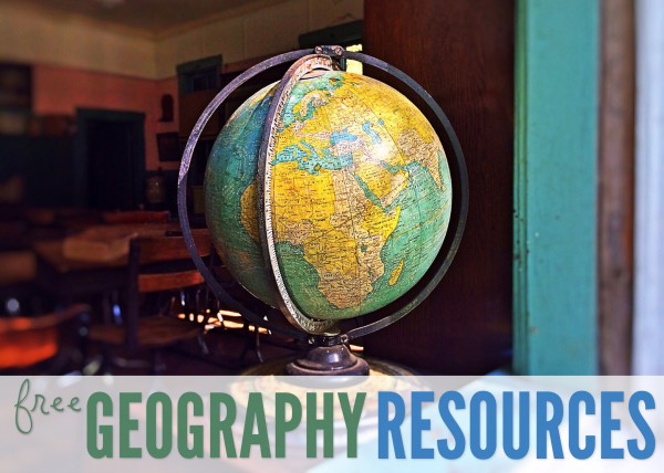
More Geography Resources
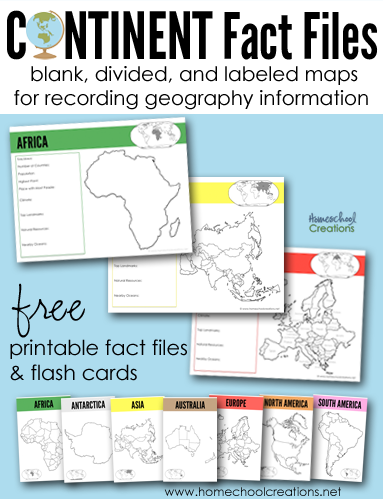
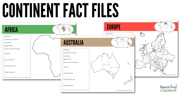
FREE Continent Fact Files
 |
 |
 |
Don’t miss these FREE geography printables listed by continent…
Click on one of the globes below to search for geography resources by continent. Each page has downloads for flag coloring and information pages, mapping pages, and links to blog post full of lesson plans and additional information.


We also highly recommend taking part in a Little Passports subscription! Not sure which adventure to choose for your explorer? Check out these Little Passports website for more information.


 The printables shared on this site are FREE of charge unless otherwise noted, and you are welcome to download them for your personal and/or classroom use only. However, free or purchased printables are NOT to be reproduced, hosted, sold, shared, or stored on any other website or electronic retrieval system (such as Scribd or Google docs). My printables are copyright protected and I appreciate your help in keeping them that way.
If you download and use some of my printables and then blog about them, please provide a link back to my blog and let me know - I'd love to see how you are using them! Please be sure to link to the blog post or web page and not directly to the file itself. Thank you!
The printables shared on this site are FREE of charge unless otherwise noted, and you are welcome to download them for your personal and/or classroom use only. However, free or purchased printables are NOT to be reproduced, hosted, sold, shared, or stored on any other website or electronic retrieval system (such as Scribd or Google docs). My printables are copyright protected and I appreciate your help in keeping them that way.
If you download and use some of my printables and then blog about them, please provide a link back to my blog and let me know - I'd love to see how you are using them! Please be sure to link to the blog post or web page and not directly to the file itself. Thank you!