
Our first stop in our study of North America was Mexico. Mexico is three times the size of Texas and is south of the United States. The Rio Grande, the longest river in Mexico, forms the border between the US and Mexico.
Mexico has a variety of plant and animal life and also a variety of environments: desert, rainforest, wetlands, and mountains. Most of the country’s population are mestizos, people of mixed Spanish and Indian origins. During our studies we learned about the history of Mexico, tried to speak a little Spanish, did a little online sightseeing, and finished up with a yummy recipe {and one we’ll have to make again!!}.
You can view the other countries that we’ve studied from North America on my North America geography page.
Week 1 Layout
Monday
- Introduce new song about Mexico from Geography Songs
- Use atlas and globe to locate Mexico; read in the atlas about Mexico
- Read one of our books from our bookshelf about Mexico
Tuesday
- Review geography song
- Learn {and review} some terms: gulf, river, rainforest, wetland, peninsula, coast, gulf, canyon, desert
- Independent reading from bookshelf
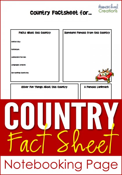
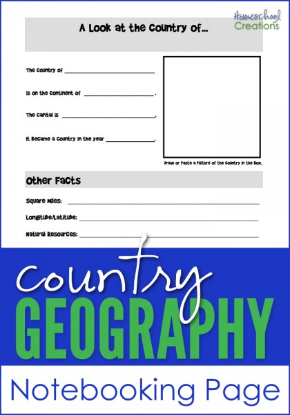
- Filled out the map of Mexico using our notebooking page

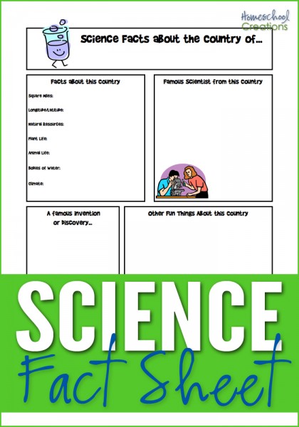
Click on thumbnail to download pdf file
Wednesday
- Review geography song
- Visited the National Geographic Kids Mexico site
- Independent reading from bookshelf
Thursday
- Review geography song
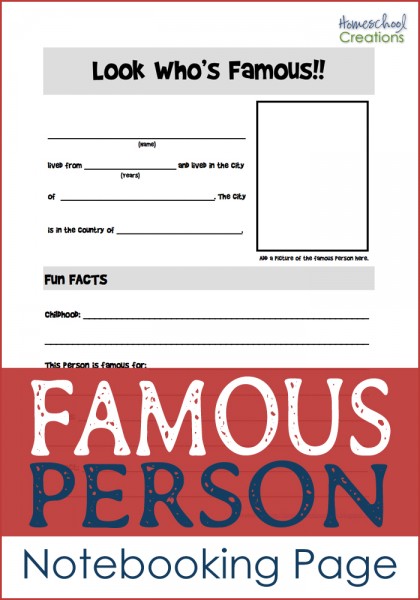
- Children Just Like Me book and notebooking page
- Reading together book on Mexico {from our bookshelf}
Week 2 Layout
Monday
- Review geography song
- Went sightseeing in Mexico {Time for Kids Mexico}
- Learned about the flag of Mexico

Click on thumbnail to download pdf file
Tuesday
- Review geography song
- Listened to and tried some Spanish phrases
- Learned about the history of Mexico
- Read together one of books from bookshelf
Wednesday
- Review geography song
- Took the Mexico challenge
- Story from Around the World in 80 Tales ~ Red Ant, Black Ant
Thursday
- Review geography song
- Cooking ~ Churritos
- Summarized one of our reading books and copy summary/dication
- Added our notebooking pages to our binder and stamped our passports!
Books To Use
- National Geographic Kids ~ Mexico
- Time for Kids ~ Mexico
- National Geographic Mexico ~ some gorgeous pictures
- A to Z Kids Stuff ~ lots of links here!!
- Ancient Mexico
- Lots of Mexico links and ideas ~ 42Explore
- Mexico for Kids
- Travel for Kids ~ more book recommendations
- TOS Expedition Mexico ~ Unit study on Mexico already done for you. :)


 The printables shared on this site are FREE of charge unless otherwise noted, and you are welcome to download them for your personal and/or classroom use only. However, free or purchased printables are NOT to be reproduced, hosted, sold, shared, or stored on any other website or electronic retrieval system (such as Scribd or Google docs). My printables are copyright protected and I appreciate your help in keeping them that way.
If you download and use some of my printables and then blog about them, please provide a link back to my blog and let me know - I'd love to see how you are using them! Please be sure to link to the blog post or web page and not directly to the file itself. Thank you!
The printables shared on this site are FREE of charge unless otherwise noted, and you are welcome to download them for your personal and/or classroom use only. However, free or purchased printables are NOT to be reproduced, hosted, sold, shared, or stored on any other website or electronic retrieval system (such as Scribd or Google docs). My printables are copyright protected and I appreciate your help in keeping them that way.
If you download and use some of my printables and then blog about them, please provide a link back to my blog and let me know - I'd love to see how you are using them! Please be sure to link to the blog post or web page and not directly to the file itself. Thank you! 