20 Best Tips

Niger Geography Printables and Unit Study Links

RAV-468X60-BannerAds

In support of the Raise a Village campaign, I am part of a team of homeschool educators  partnering with Samaritan’s Purse to bring you part of an educational unit study of Niger.

Today I have a few printables to share with you based on the country of Niger {not Nigeria – did you know there were two countries in Africa with such similar names?}. If you are working on a geography unit for Africa, these printables will be a fun addition to your learning. Don’t forget to check below too. There are links to several other helpful printables, art projects, and lesson plans from other homeschool moms to help you out as well.

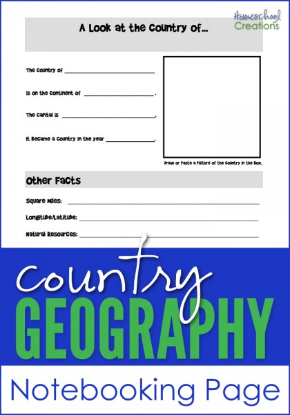
Niger Mapping Page, Country Factsheet, and Prayer Printables

Niger Geography Pages via HomeschoolCreations


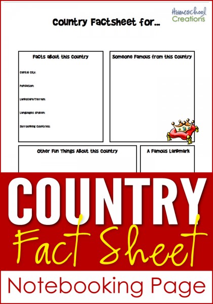
The Niger Geography Printables include the following worksheets:

  • a mapping sheet for the country of Niger {map rivers, countries, mountains, and other geographical information}
  • a country factsheet to write down information about Niger including when it became a country, current population, climate, type of government, and more
  • a prayer sheet to display and use when studying about Niger

You can find out specific information on the country of Niger that will help you fill out the worksheets by visiting this site and also the Raise a Village page from Samaritan’s Purse.


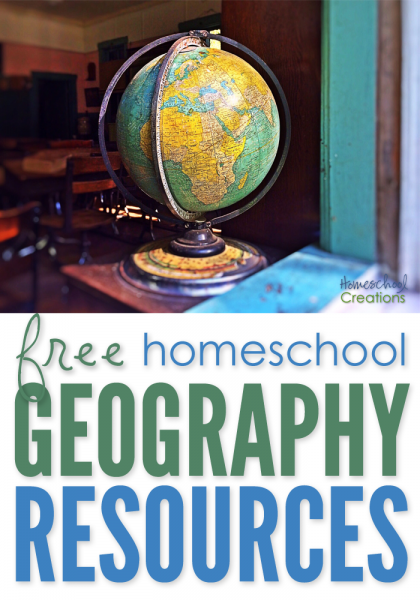
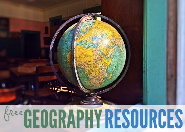
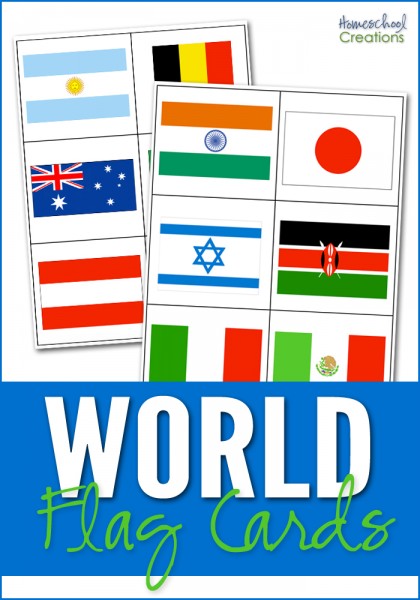
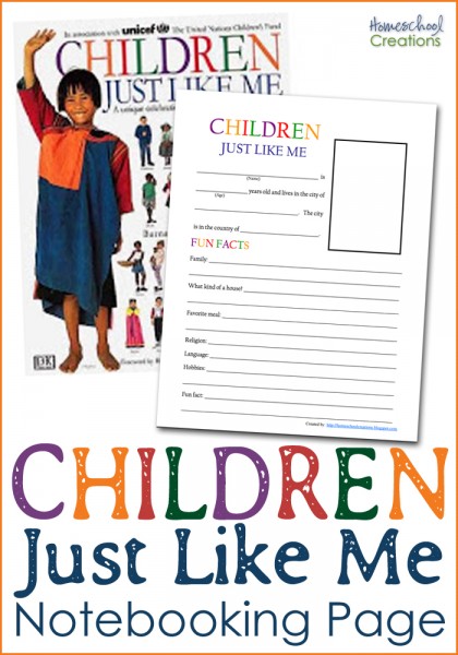
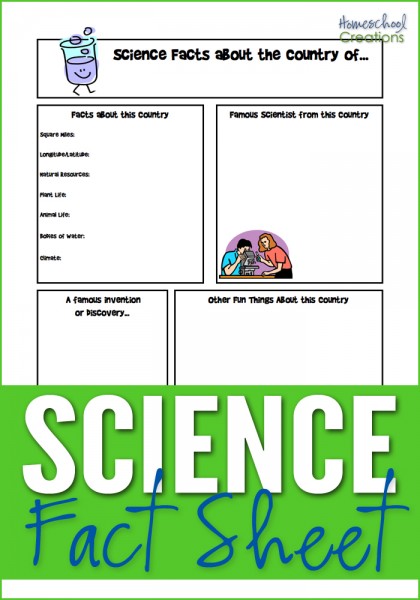
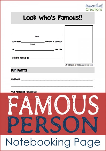
Don’t miss these FREE geography printables listed by continent…

image image image image image image


Additional Printables, Projects, and Ideas for a Niger Unit Study

Visit the following blogs for more free printables and unit study ideas to use with your family when learning about the country of Niger:

Raise a Village from Samaritan’s Purse

RAV-300x250-BannerAd

You can find out how Samaritan’s Purse is partnering with Guidan Gado, a village in the country of Niger where families struggle in hopeless situations.

Raise a Village is an effort to change lives by supplying livestock, seeds, tools, and other aid that will provide the 1,400 people living in Guidan Gado with a hope-filled future. It is just one of the many ways we are working in Niger, which is one of the poorest countries on earth.

Follow the progress of Raise a Village.


I volunteered to create printables and share information about Raise a Village from Samaritan’s Purse. I was not compensated in any form and all thoughts, printables, and such are my very own.

Free Homeschool Geography Resources

free homeschool geography resources

If you are looking for free geography printables to go along with your homeschool studies, below you’ll find several notebooking pages you can use in your home. 

Click on one of the globe to search for geography resources by continent. Each page has downloads for flag coloring and information pages, mapping pages and links to blog post full of lesson plans and additional information.

Africa   Asia   Australia
Europe    North America    South America
 

free geography resources

Here’s a quick look at a few more free geography printables to help you out.

world flag cards for matching

World Flag Cards ~ The world flag cards represent 35 countries based on the countries that are studied in Galloping the Globe {with a few extras thrown in}. The set also contains 6 cards that represent 6 of the 7 continents {Antarctica is excluded} so cards can also be sorted by the continent the country flag belongs to. Country name cards are also included for your child to match the names of the countries with the appropriate flag. Also includes a key at the end of the document to help double check your answers.

Children Just Like Me notebooking page

Children Just Like Me Notebooking Page ~ This notebooking page was created to go along with the book Children Just Like Me. Your child collects all the information for the notebooking sheet from the children’s stories in the book. You can read more about the page here.

country fact sheet notebooking page for geography studies

Country Fact Notebooking Page ~ This notebooking sheet can be used for any country. There is room to record information about the country: country facts, famous people, landmark(s), and other fun information. Also room to draw pictures, add clip art and journal. You can see an example here.

science fact notebooking sheet for geography studies

Science Fact Notebooking Page ~ Similar in layout to the Country Fact Notebooking Page, this has room for famous inventors and inventions, science facts about the country, plant and animal life, etc…

famous person notebooking page

Famous Person Notebooking Page ~ Have a famous person that lived in the country you are studying? This is a notebooking sheet records information about that person: where s/he lived, hobbies, childhood, and what they are famous for. There’s even a little space to add a picture if you’d like.

country geography notebooking page

Country Geography Notebooking Page ~ Jot down some notes on the country you are studying: square miles, longitude/latitude, natural resources, religions, languages and more. It also has space to add a picture of the country you are learning more about.

And if you’re looking for more geography fun, you can take a virtual adventure with Little Passports ~ all you have to do is walk to your mailbox to start. :)


Hope that a few of these resources help you all out!

Mapping China Printable

When I first started doing our geography studies, I didn’t know how many people I would eventually be sharing my files with. For the first few countries we studied in Asia, there were no mapping projects created to go along with them.

Several of you have emailed me asking if I either had them available or could pull them together. I’m slowly working through them {and will be posting Israel, Russia, and Korea soon!}, but posted a map notebooking page for China in case you all are interested! Just click on the thumbnail image below to download a copy.

Mapping China

The rest of my printables for the continent of Asia, including the country of China, can be found on my Asia Notebooking Printables page.

Here’s a quick peek at some of the other FREE geography lesson plans and geography printables that I have created:

Jolanthe Signature affiliate button

Learning About Our Country ~ the United States

The United States was the last country that we studied in our two year world geography study.  Since we were going to be doing Early American History in the upcoming year, we just did a general study to get the basics in ~ because really, there is SO much you could do!

The United States is the third largest country in the world and located on the continent of North America. There are six different regions in the US: New England, the mid-Atlantic, the South, the Midwest, Southwest, and the West.

You can view the other countries that we’ve studied from North America on my North America geography page. See the other countries that we’ve studied

Week 1 Layout

Monday

  • Introduce new song about the United States from Geography Songs
  • Use atlas and globe to locate the United States
  • Read one of our books from our bookshelf about South Africa

Tuesday

  • Review geography song
  • Learn {and review} some terms: mountain range, desert, plains
  • Independent reading from bookshelf
  • Filled out the map of the United States using our notebooking page

Mapping US

 Click on thumbnail to download pdf file

Wednesday

Thursday

Week 2 Layout

Monday

image

Click on thumbnail to download pdf file

Tuesday

Wednesday

 
Thursday

  • Review geography song
  • Summarized one of our reading books and copy summary/dication
  • Added our notebooking pages to our binder and stamped our passports!

Books To Use


Resources and Websites

State Notebooking Pages ~ Free Printables!!

One of my readers, Debbie from Our Cup of Tea, emailed and asked if I would be able to put together some notebooking sheets for a US state study that her family is doing ~ similar to the other geography notebooking pages that I created for our Galloping the Globe studies.

I’ve posted them on my geography resource page, but wanted to let you all know about them in case they would help you out too!

The first one is a more basic State Factsheet Notebooking page and includes space to tell the state capital, population, state flower, state bird and surrounding states. There is also room to write down information on someone famous from the state, other fun facts and famous landmarks.

State factsheet

{Click on image to download}

The second of the State Notebooking pages is also a single page, but includes clip art for all 50 states so if you have younger kids {or ones that don’t want to draw} you can use the clip art in the space provided. This notebooking page goes into a little more detail, providing room for the following info: statehood, abbreviation, capital, square miles, bordering states, state bird, flower, tree, motto, song, famous person, and fun facts.

Desktop9

{Click on image to download}

You can always find these geography notebooking pages and MANY more geography resources on the geography page of my website. I have general printables available as well as printables organized by various continents along with resources that we’ve used and loved!

Here’s a quick peek at some of the other plans and printables I have posted:

Jolanthe Signature affiliate button

O Canada! ~ Lesson Plans and Resources

Canada spans more than half of the Northern Hemisphere and is the second largest country in the world. It also has the world’s longest coastline ~ there are oceans on three sides. Canada’s lakes and rivers make up about 20% of the world’s fresh water.

The population of Canada is less than half a percent of the world’s population. The majority of Canada’s people live in the southern part of Canada and the largest cities are Montreal, Toronto and Vancouver. Canada’s two official languages are French and English.

You can view the other countries that we’ve studied from North America on my North America geography page.

Week 1 Layout

Monday

  • Introduce new song about Canada from Geography Songs
  • Use atlas and globe to locate Canada
  • Read one of our books from our bookshelf about Canada

Tuesday

  • Review geography song
  • Learn {and review} some terms: province, hemisphere, territory, bay {Hudson bay}
  • Independent reading from bookshelf
  • Filled out the map of Canada using our notebooking page

 Mapping Canada

 Click on thumbnail to download pdf file

Wednesday

  • Review geography song
  • Took a virtual tour through Canada
  • Talked about three different explorers: Leif Erickson, Jacques Cartier, and John Cabot
  • Independent reading 

Thursday

Week 2 Layout

Monday

 Flag of Canada

Click on thumbnail to download pdf file

Tuesday

Wednesday

Thursday

  • Review geography song
  • Summarized one of our reading books and copy summary/dication
  • Added our notebooking pages to our binder and stamped our passports!

Books to Use

Resources and Websites